
Figura:Northlasv.jpg
Amzure dë sta preuva: 800 × 292 pontin. Àutre arzolussion: 320 × 117 pontin | 1 011 × 369 pontin.
Archivi original (1 011 × 369 pontin, amzure: 123 KByte, sòrt MIME: image/jpeg)
Oget
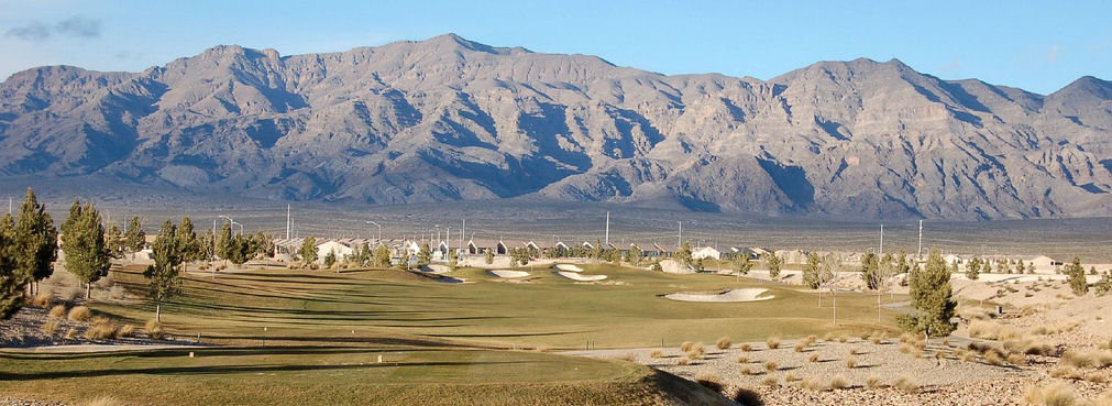
| Descrission |
English: The southern section of the Las Vegas Range, and the Aliante Golf Club in the Las Vegas Valley — in Clark County, southern Nevada.
|
| Sorgiss | Travaj pròpi |
| Autor | Meridethmyers |
Licensa
| Mi, ël padron dij drit ëd còpia dë sto travaj-sì, i lasso sto travaj-sì ant ël domini pùblich. Sòn a s'àplica a tul ël mond. An quàich ëstat sòn a peul esse pa legalment possìbil; se parèj: I don a mincadun ël drit ëd dovré sto travaj-sì për qualsëssìa but, sensa gnun-e condission, gavà ch'a-i sio ëd condission vorsùe da la lej. |
Stòria dl'archivi
Ch'a-i daga un colp col rat ant sna cobia data/ora për ës-ciairé coma a restèissa l'archivi ant col moment-là.
| Data e Ora | Miniadura | Amzure | Utent | Coment | |
|---|---|---|---|---|---|
| dël dì d'ancheuj | 00:04, 4 maj 2008 | 1 011 × 369 (123 KByte) | Meridethmyers~commonswiki | {{Information |Description= |Source=self-made |Date= |Author= Meridethmyers |Permission= |other_versions= }} |
Anliure a le figure
Le pàgine sì-sota a l'han andrinta dj'anliure a sta figura-sì:
Dovragi global dël file
J'àutre wiki sì sota a deuvro st'archivi-sì:
- Usagi dzora ar.wikipedia.org
- Usagi dzora arz.wikipedia.org
- Usagi dzora azb.wikipedia.org
- Usagi dzora be-tarask.wikipedia.org
- Usagi dzora br.wikipedia.org
- Usagi dzora bs.wikipedia.org
- Usagi dzora ceb.wikipedia.org
- Usagi dzora de.wikipedia.org
- Usagi dzora en.wikipedia.org
- Usagi dzora en.wikivoyage.org
- Usagi dzora eo.wikipedia.org
- Usagi dzora es.wikipedia.org
- Usagi dzora fa.wikipedia.org
- Usagi dzora fi.wikipedia.org
- Usagi dzora fr.wikipedia.org
- Usagi dzora id.wikipedia.org
- Usagi dzora ja.wikipedia.org
- Usagi dzora kw.wikipedia.org
- Usagi dzora no.wikipedia.org
- Usagi dzora pt.wikipedia.org
- Usagi dzora ru.wikipedia.org
- Usagi dzora simple.wikipedia.org
- Usagi dzora sw.wikipedia.org
- Usagi dzora tl.wikipedia.org
- Usagi dzora tr.wikipedia.org
- Usagi dzora uk.wikipedia.org
- Usagi dzora uz.wikipedia.org
- Usagi dzora war.wikipedia.org
- Usagi dzora www.wikidata.org
- Usagi dzora zh.wikipedia.org